Sensitivity Study
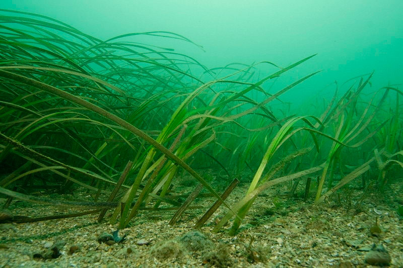 The BE-AWARE project identified the highest risk areas and the potential for marine pollution. However, this was only the first part of the risk assessment process. There is also a second phase of the project where the spread of marine pollution and the environmental and socioeconomic sensitivity of the coastline will be mapped to ensure that counter pollution resources are adequate and correctly positioned.
In order to undertake this second phase it is essential to establish common criteria and qualitative descriptions by which the potential coastal impact can be assessed, taking into account seasonal variability. This task will utilise results of work already considered within the Bonn Agreement, environmental sensitivity mapping achieved by HELCOM in the BRISK project, and a major socioeconomic analysis currently being undertaken (2011-2013) by the OSPAR Commission. A workshop has been held to agree and confirm the acceptability of chosen parameters for any future work.
Key Task Deliverables:
Next In This Section
Risk Assessment
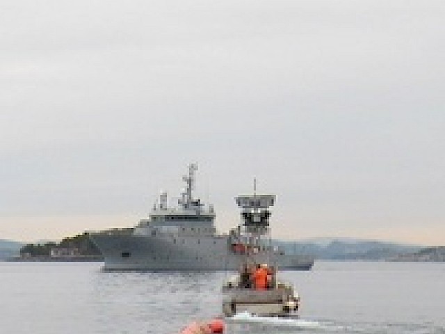
The risk assessment built upon the work carried out in the previous project tasks.
Read